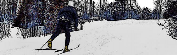
BANADAD/LACE LAKE TRAIL
- 31 km (19.4 mi) Poplar Creek Ski Trail intersection to upper Gunflint ski system
- (Easier to More Difficult)
This trail serves as a connecting link between the Central Gunflint and Upper Gunflint ski trail systems. Two-thirds of the Banadad Trail runs through the BWCAW, making it the longest tracked ski trail within the BWCAW. The Lace Lake Trail is a 5 km loop connecting the Banadad ski trail to the Poplar Creek ski trail. The northern portion follows the very scenic Poplar Creek. The southern portion is shorter but more difficult.
These trails are maintained by Boundary Country Trekking. Because much of this trail system is in the BWCAW, the law requires that these trails be maintained using hand equipment,and groomed only with a small snowmobile. Therefore the trails are narrower, a bit wilder and not as easily accessible in an emergency. Use caution.
Use of these trails requires a Minnesota Ski Pass.
